Severe weather warning issued for Appleton area, including hail and damaging winds
After a period of dry and warm weather, a severe weather warning is being issued for the Appleton area. According to the National Weather Service Green Bay, the Appleton area is at an enhanced risk for severe weather May 15.
The forecast says storms will form over western Wisconsin and southeast Minnesota between 1 and 4 p.m., before pushing into central and northeast Wisconsin between 4 and 9 p.m.
“Six to 7 o’clock looks to be the target time for Green Bay and Appleton to see the strongest of severe storms,” said Scott Berschback, meteorologist for the National Weather Service Green Bay. “And then they quickly move out there, very quickly. They’re quick-moving storms, so once they get here, they’ll race through the area within an hour or two, so they’re gone by 8 o’clock.”
All hazards for severe weather are possible, including tornadoes, 2-inch large hail, and strong, damaging winds.
The Appleton area currently has a 80% chance of precipitation May 15. Berschback also said the area could get “a quick” half inch of rain.
Appleton received a combined 1.14 inches of rain during the first three days of May, but nothing in the next 12 days.
The severe weather outlook and thunderstorm timeline for northeastern Wisconsin on Thursday, May 15.
What’s the forecast?
Expect high temperatures to peak around 5 p.m. May 15 before temperatures cool down to around 60 by 5 a.m.. Expect sunshine as well. Here’s the forecast:
Thursday: High of 79, low of 60
Friday: High of 78, low of 53
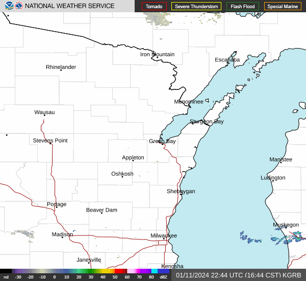
Appleton weather radar
Rashad Alexander can be reached at ralexander@gannett.com and 920-431-8214.
This article originally appeared on Appleton Post-Crescent: Appleton forecast for May 15 calls for severe weather, hail

